- Your Photos Reveal More Than You Think: Meet PIGEON Image Geolocation AI
Your Photos Reveal More Than You Think: Meet PIGEON Image Geolocation AI
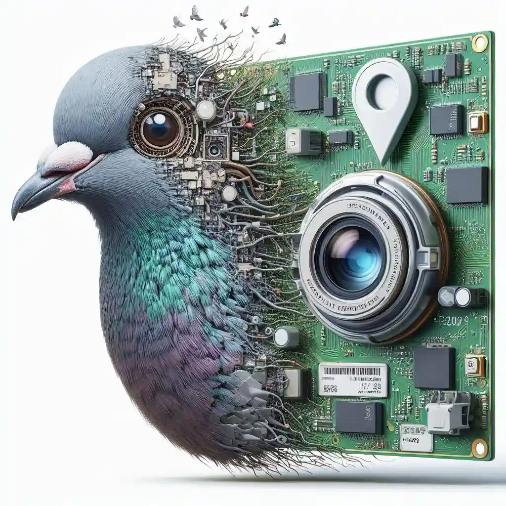
PIGEON, the image geolocation whiz that can pinpoint where your photos were taken with surprising accuracy. It’s not just looking for landmarks, either. PIGEON analyzes the subtle details in your images, even using things like climate patterns and population density to crack the location code.
Intrigued? Skeptical? Either way, buckle up. We’re about to dissect how PIGEON pulls off this digital detective work and explore the exciting (and maybe slightly unsettling) potential of PIGEON Image Geolocation.
What is PIGEON?

PIGEON is an image geolocalization system engineered to accurately determine the location where a photograph was taken.
Image Geolocalization: The Problem
The sheer diversity of imagery, from iconic landmarks to unremarkable streetscapes from anywhere on Earth, presents a significant hurdle for computer vision systems.
The Fix: Vision Transformer-Based Approaches
While vision transformer-based approaches have made significant progress, their success has often been limited to specific image distributions or familiar locations.
PIGEON: Overcoming Limitations
PIGEON directly confronts this challenge, aiming to achieve accurate image geolocalization across the globe, even for unseen places.
What Can PIGEON Do?

- Image Geolocation Specialist: PIGEON is designed to analyze images and predict their most likely place of origin.
- Data-Driven Approach: It surpasses traditional visual analysis by incorporating climate patterns, population density, architectural styles, and other rich datasets to refine its predictions.
- Applications Beyond the Obvious:
- Research: Environmental monitoring, urban planning, and historical analysis of locations through old photographs.
- Verification: Potential to authenticate the origins of news images and other online content
Ethical Considerations with AI GeoLocation
- The Privacy Factor: Advanced image geolocation raises serious questions about privacy. Could tools like PIGEON be used to track individuals based on their photos?
- Potential for Bias: As with any AI system, PIGEON’s outputs are influenced by the data it’s trained on. Is it more accurate in some regions than others? Could this perpetuate existing biases?
- Responsible Deployment: The impressive capabilities of PIGEON underscore the need for clear ethical guidelines. Transparency and responsible use are crucial to prevent potential misuse of location data.
Tackling the Ethical Challenges
- Data Governance: Strict policies on how location-related data is collected, stored, and used by AI systems.
- Transparency: Openness about the capabilities and limitations of image geolocation tools, including potential biases.
- User Control: Giving individuals greater control over their location data and how it is used.
- Ongoing Dialogue: Continuous collaboration between tech developers, ethicists, and policymakers is crucial.
PIGEON showcases the power of AI in image analysis, yet also highlights the importance of ongoing discussions about the ethical deployment of AI technology.
Inside Pigeon: A Technical Breakdown for Devs

Not a Div? Skip to the next section
This section outlines the core methods used, emphasizing concepts for those familiar with Python, sci-kit-learn, rasterio, CLIP, and PyTorch.
1. Semantic Geocell Creation
- Administrative Merging: Starting with administrative boundaries (e.g., countries), smaller regions are iteratively merged to ensure each geocell contains a minimum number of image samples for balanced training.
- OPTICS Clustering: Within these preliminary geocells, OPTICS clustering identifies dense clusters of images, likely indicating popular locations.
- Voronoi Tessellation: Flexible boundaries are drawn around the clusters using Voronoi tessellation, creating the final semantic geocells.
2. Haversine-Based Label Smoothing
- Beyond One-Hot Encoding: Pigeon avoids rigid “one-hot” geocell labels. Instead, it calculates the Haversine distance (accounting for Earth’s curvature) between each geocell’s centroid and the image’s true location.
- Distance-Based Weighting: A smoothing function assigns higher weights to geocells closer to the image’s true location, gradually decreasing weights with distance. This creates a nuanced representation of potential locations.
3. CLIP Pretraining (Illustrative)
- Synthetic Captions: Image captions incorporating geographic, climatic, or other location-relevant information are generated to enhance CLIP’s understanding of the link between visuals and location.
- Multi-Task Pretraining: The model is pre-trained to simultaneously predict image location and the information encoded in the synthetic captions for a robust understanding of image-location relationships.
Key Takeaways
- Pigeon’s semantic geocells are crucial for organizing image data based on both geographic boundaries and image density.
- Haversine-based label smoothing allows for more flexible location predictions, especially beneficial at geocell boundaries.
- CLIP pretraining with synthetic captions further improves the model’s ability to extract location-relevant information from images.
- Explore more about PIGEON: Predicting Image Geolocations (Paper)
How PIGEON Works (Simplified)
- Flexible Mapping: PIGEON utilizes a dynamic mapping system, where geographic areas are defined by both traditional boundaries and clusters of visually similar images. This allows for adaptable region definitions.
- Data-Driven Analysis: Beyond landmarks, PIGEON leverages data points like climate, population density, and architectural styles. It has been trained to recognize correlations between these factors and specific geographic locations.
- Pattern Matching: When processing a new image, PIGEON compares it to its extensive knowledge base. It aims to identify the most probable location of origin based on a complex analysis of visual and non-visual cues.
Key Point: PIGEON’s capabilities evolve alongside its training data. Greater accuracy and nuanced predictions hinge on access to diverse and high-quality geographic datasets.
Pigeon vs. GeoSpy AI: A Comparative Analysis
- Core Techniques:
- GeoSpy AI: Relies on traditional computer vision techniques and classification-based approaches.
- Pigeon: Utilizes advanced methods such as CLIP for image-text understanding and semantic geocells with Haversine-based label smoothing.
- Data Reliance:
- GeoSpy AI: Performance may suffer with diverse datasets or unseen locations.
- Pigeon: Generalizes well due to CLIP’s zero-shot capabilities and focus on distance-based relationships.
- Focus & Applicability:
- GeoSpy AI: Excelling in specific tasks within known areas, like tracking or verifying image origin.
- Pigeon: Geared towards planet-scale geolocalization with applications in environmental research, large-scale photo verification, and aiding navigation for visually impaired users.
PIGEON’s Advantages over GeoSpy AI
- Accuracy Edge: PIGEON leverages state-of-the-art AI techniques like CLIP, semantic geocells, and Haversine-based label smoothing. This suggests a strong potential for increased accuracy in planet-scale image geolocalization.
- Analytical Focus: Unlike GeoSpy AI’s potential for individual tracking, PIGEON is designed to handle unseen locations and broader datasets. This enables applications like:
- Tracking environmental shifts (e.g., landscape changes over time)
- Large-scale photo origin verification (e.g., for news media)
- Ethical Implications: PIGEON’s emphasis on analysis shifts ethical considerations. Key concerns center on:
- Transparency about the model’s capabilities and potential biases.
- Policies for responsible use, especially in verification-related applications.
PIGEON For OSINT Investigations:

PIGEON’s image geolocalization capabilities have significant potential for OSINT analysts to:
- Verify the location of images or videos found online, aiding in investigations that rely on visual evidence.
- Cross-reference image locations with other sources to uncover patterns or connections (e.g., social media activity from a particular location).
- Track the spread of information or track the movement of individuals based on visual clues from images and videos.
How PIGEON’s Strengths Benefit OSINT:
- Handling Unseen Locations: PIGEON’s design prioritizes generalization to new places, making it well-suited for diverse OSINT datasets that go beyond typical landmark-focused image geolocalization.
- Potential Accuracy: OSINT work benefits from precise location predictions, and PIGEON’s advanced techniques hold promise for delivering such accuracy.
Potential Use Cases of PIGEON
- Research
- Climate Studies: Tracking the visual effects of climate change on landscapes over time (e.g., glacier retreat, changes in vegetation, effects of extreme weather events).
- Urban Planning: Analyzing patterns in how cityscapes and urban infrastructure evolve across different regions (e.g., tracking the spread of particular architectural styles, and identifying areas of rapid development).
- Historical Analysis: Geolocating old photographs or artwork to gain insights into the visual changes of locations over long periods. This can enrich historical research.
- Verification & Combating Disinformation
- News Photos: Authenticating the origin of news photographs or images circulating on social media. This can help identify potential misinformation campaigns.
- Deepfakes: While not directly combating deepfakes, PIGEON could be a component of a larger system to detect inconsistencies. For example, a visual inconsistency between the claimed location of a deepfake video and the location inferred by Pigeon could raise a red flag.
- Other Potential Applications
- Augmented Reality: Potentially improving location-based AR experiences by providing a more accurate initial location estimate.
- Assisting the Visually Impaired: While ambitious, further development could lead to assistive applications for navigation and understanding one’s surroundings.
Additional Notes/Conclusion
PIGEON’s success is further underscored by the development of PIGEOTTO, a derivative model trained on Flickr and Wikipedia images. PIGEOTTO achieves state-of-the-art results across various image geolocalization benchmarks, demonstrating PIGEON’s broader contributions to the field. This suggests PIGEON is among the first image geolocalization systems capable of handling the complexities of planet-scale geolocation.
This highlights the potential of semantic geocells, multi-task contrastive pretraining, and location cluster retrieval for refining location predictions. PIGEON’s advancements pave the way toward robust image geolocalization systems that can analyze the visual world with accuracy.
Further Exploration:
For a comprehensive technical breakdown, including in-depth discussions of code implementation, optimization strategies, and the theoretical foundation of PIGEON, refer to the research paper: “PIGEON: Predicting Image Geolocations” (Haas et al., 2023) at https://arxiv.org/abs/2307.05845

